...
Event maps can also be edited to include other information such where entrances & emergency exits have been placed (points), as well as secured areas, car-parks, event spaces, meeting areas, road-closures, and more (rectangles & other shapes). This can be done by clicking the 'map location' icon next to the event address, and clicking 'Edit' or 'Full screen'.
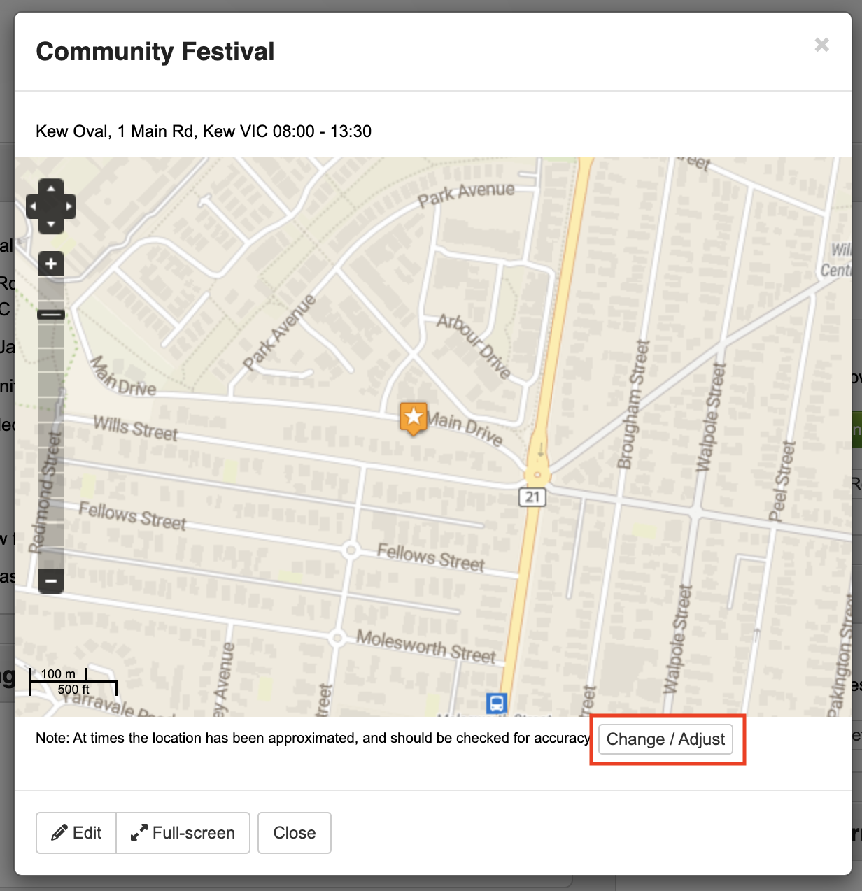
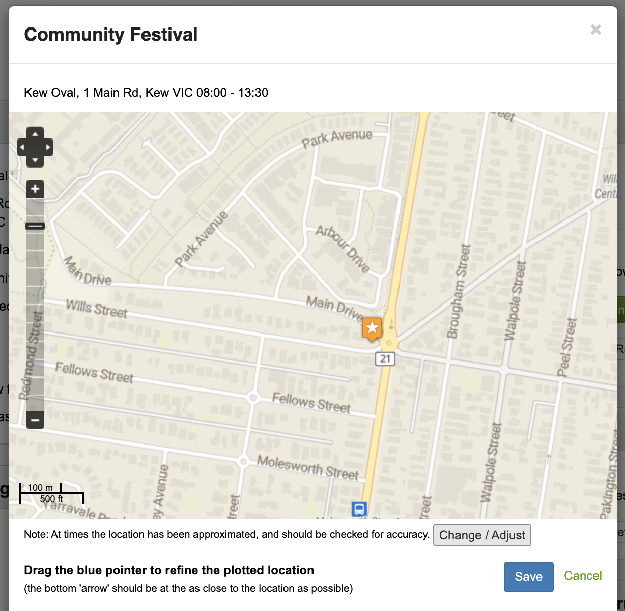
At times, the location may need to be adjusted - this can be done by clicking 'Change/Adjust' when showing the map for an event;
Once the star in the middle has been moved to where the event is, click 'Save'.
GIS Information & Data
GeoJSON data can be obtained by one of the following URL's, depending on your needs. Typically these contain as a minimum the name, id number and a URL to more details for an item, however also typically contain additional information depending on the information retrieved (eg. people might have a phone number included, and resources might also have a type & sub-type included).
...